Geospatial Analyst Job Description
geospatial analyst job description includes a detailed overview of the key requirements, duties, responsibilities, and skills for this role.
Geospatial Analyst Job Description
A geospatial analyst is a person who works with geographic information systems (GIS) to produce information about spatial data, analyze that data, and make decisions based upon that information.
Geospatial analysts work in many different industries, including defense and intelligence, transportation, utilities, and agriculture.
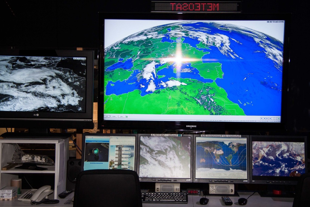
Geospatial analysts will analyze data such as geopolitical data, pollution data, and weather data.
As a subset of analyzing spatial data, geospatial analysts may also utilize tools such as GIS and remote sensing.
Geospatial analysts use geographic information system technology to collect, process, and analyze data.
They work with different types of data,
Job Brief:
We’re looking for a Geospatial Analyst to join our team. The ideal candidate will have experience working with geospatial data and be able to effectively communicate their findings. If you are a self-starter with a passion for working with data, we want to hear from you!
Geospatial Analyst Duties:
- Evaluate data from aerial and terrestrial imagery
- Use geographic information systems (GIS) technologies to develop accurate maps and perform spatial analysis
- Identify, quantify, measure, and communicate spatial trends
- Collect, analyze, and present spatial data using GIS and remote sensing
- Learn new GIS software while keeping up with emerging technologies
- Analyze geospatial data using a variety of tools
- Develop, maintain, and leverage spatial databases
- Create, maintain, and leverage spatial data and knowledge centers
- Assist in gathering, developing, analyzing, and presenting spatial data, knowledge, and experiences
Geospatial Analyst Responsibilities:
- Create maps, maps documents, and GIS data products
- Create and update spatial relationship diagrams, spatial databases, and spatial graphics
- Design, develop, and maintain web mapping applications, interfaces, and web services
- Create and edit map packages using ESRI software
- Design and develop spatial databases using SQL
- Perform quality control and quality assurance of maps, maps documents, and GIS data products
- Manage GIS data, databases, and software
- Research, analyze, and prepare data to support project activities
- Perform technical writing and documentation
- Perform spatial analysis using GIS software
- Work on ArcGIS Server
- Perform quality control and quality assurance of maps, maps documents, and GIS data products
- Perform technical writing and documentation
Requirements And Skills:
- Bachelor’s degree in geography, engineering, physical sciences or a related field
- 3+ years relevant experience in geospatial analysis
- Experience in software development using Python, Ruby on Rails, and Java
- Enhanced knowledge of GIS and remote sensing technology
- Knowledge of cartographic design
At Company Name, we believe that a diverse and inclusive team is key to success. We encourage applications from people of all races, religions, national origins, genders, and ages, as well as veterans and individuals with disabilities.